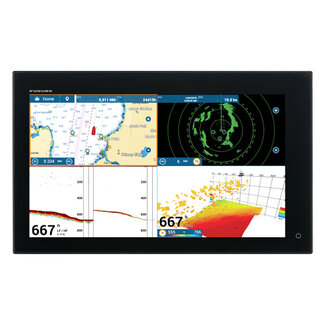
TZ MAPS of the UK Ireland & the Channel area with Raster, Vector, detailed land information, high-resolution satellite photos and high resolution Bathymetry. Read more.

Raster Data
Marine Raster Chart data is geo-referenced, digital pictures of the Official Hydrographic Office and select private navigational charts. True color replicates the hydrographic services' official paper charts. Marine raster charts are the most reliable, allowing you to display on screen the official paper charts that you are used to using.
Vector Data
Marine Vector Chart data uses a vector database to build the chart display. This data is kept in layers and contains information on every nautical chart feature, such as coasts, buoys, lights, and so on. These features and their qualities, such as position, color, size, shape, and others, are saved in a database and may be displayed and examined selectively. Vector maps are often the only reference in many areas of the world where there is no hydrographic service.
Land Information
Detailed land information allows for a better understanding of the coastline and its surrounding infrastructure.
Satellite Photos
TZ MAPS uses satellite photographs merging the Satellite images with the Raster or Vector charts to deliver only the data you need for safe navigation in a simple, realistic manner. Each TZ MAPS data pack contains standard resolution satellite photos. Only select places have high-definition satellite imagery. MapMedia continues to collaborate with data suppliers to expand and update the satellite photograph catalog.
High-Resolution Bathymetry
TZ MAPS bathymetry is based on the visual interpretation of chart contour lines. This 3D model is highly useful while entering a port or harbor, offering another navigation tool to keep you aware of underwater threats.
Contour Lines of Depth
The finest bottom data is available, and the new BathyVision function lets you to display it in color and/or with contour lines in a dynamic and straightforward manner. To highly focus on high-potential fishing areas, the density of contour lines and related shading can be adjusted.
Altimetry
TZ MAPS use altimetry to correctly display the coastline. There are various advantages, including fast identification of port entrance and identification of certain coastal characteristics. Altimetry also allows you to move in a realistic perspective view of the horizon.
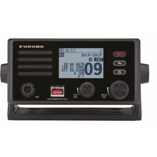
This item is compatible with the following products:


