Cart
You have no items in your shopping cart


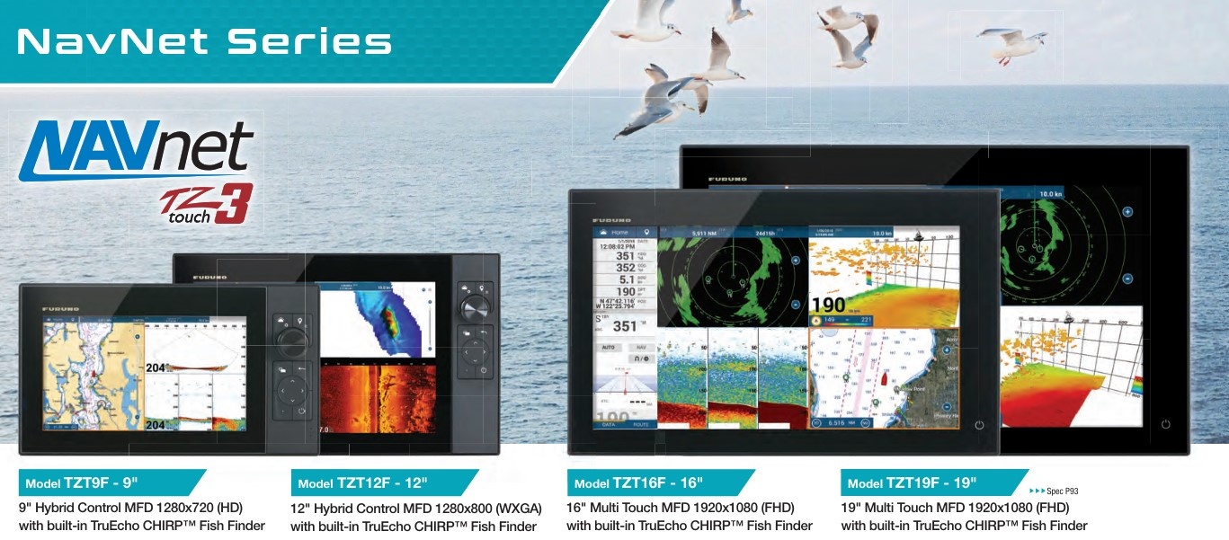
An "MFD" or Multi Functional display is also called a Chartplotter. On a large touch screen maps are shown on which one can navigate. Chartplotters are usually connected to a network N with radar. This allows one to call up a great deal of data via the chart plotter, such as radar images, speed and depth, but also AIS data or sonar images. There are many possibilities depending on your wishes.